

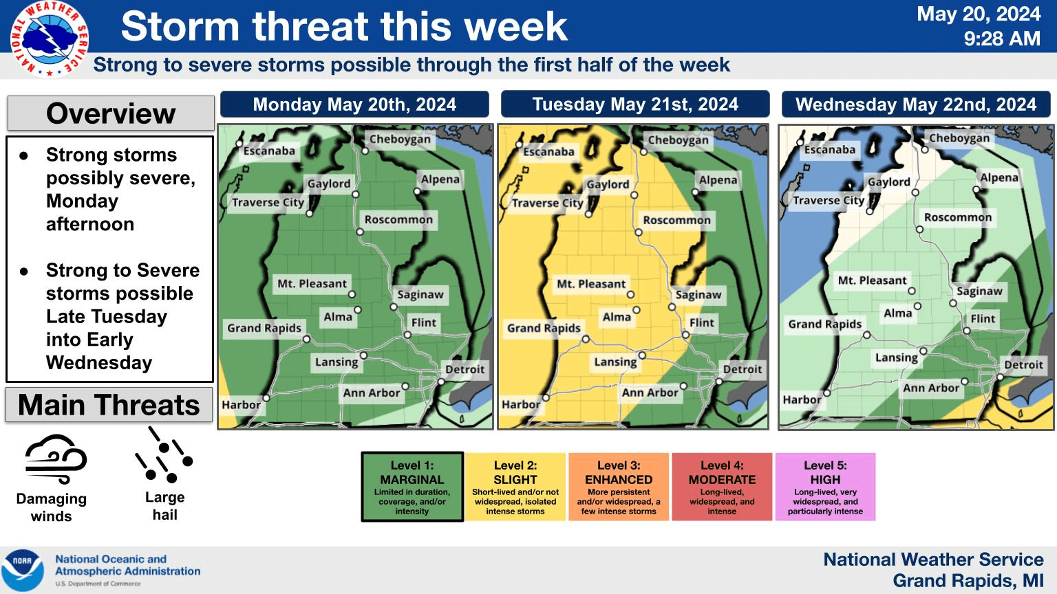
Jackson, Mich. (WKHM) — There is a possibility of severe weather the first half of this week. From The National Weather Service: “High temps into the 80s will continue with several rounds of showers and storms expected through mid week. Strong storms, possibly severe, are possible this afternoon and evening with another round on Tuesday with the passage of a frontal system. The strongest storms are possible late Tuesday into early Wednesday. Dry weather should end the week.”
Stay tuned to WKHM for the latest developments.
There is currently a Hazardous Weather Outlook in place for the WKHM listening area:
This hazardous weather outlook is for portions of southwest Lower
Michigan.

.DAY ONE...Today and Tonight

Marginally severe storms with potential for damaging wind gusts
and hail are expected from mid afternoon through late tonight.

.DAYS TWO THROUGH SEVEN...Tuesday through Sunday

There is a slight risk for severe weather mainly late Tuesday
night into early Wednesday.